SCAG’s ‘SoCal Greenprint’ Strategic Mapping Tool Now Online
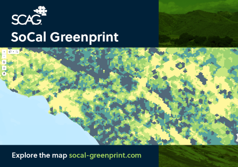
SCAG’s SoCal Greenprint is now available online.
SoCal Greenprint is a web-based mapping tool to help local jurisdictions, transportation agencies, stakeholders, and local communities make strategic land use and infrastructure decisions, support conservation investments, and offset the impacts of transportation and development projects.
This open, optional, flexible data tool maps high-quality environmental, ecological, and land use data to support regional advance mitigation planning initiatives. SoCal Greenprint can also assist local and subregional agencies in securing state and federal funding for sustainability and resilience projects and programs in the SCAG region. SCAG published a user guide to explain how to access and use the tool—start there if the SoCal Greenprint tool looks like a good fit for your organization’s project and program work.
The SoCal Greenprint is part of SCAG’s broader Regional Advance Mitigation Planning (RAMP) initiative, required by the Connect SoCal Regional Transportation Plan/Sustainable Communities Strategy for both 2020 and 2024—as well as their program environmental impact reports—to support regional advance mitigation programs.
The SoCal Greenprint can support implementing agencies in establishing or supplementing voluntary RAMP programs to mitigate environmental impacts, reduce per-capita vehicle miles traveled, and provide mitigation opportunities through the Intergovernmental Review Process.
By offering credible, centralized data for grant applications and project justification, the SoCal Greenprint empowers communities across the SCAG region to pursue impactful, future‑focused investments.
Learn more about the SoCal Greenprint tool and how to request access on the SCAG website.